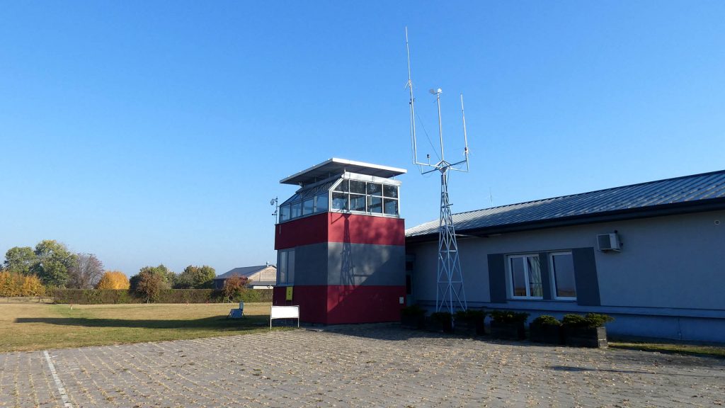
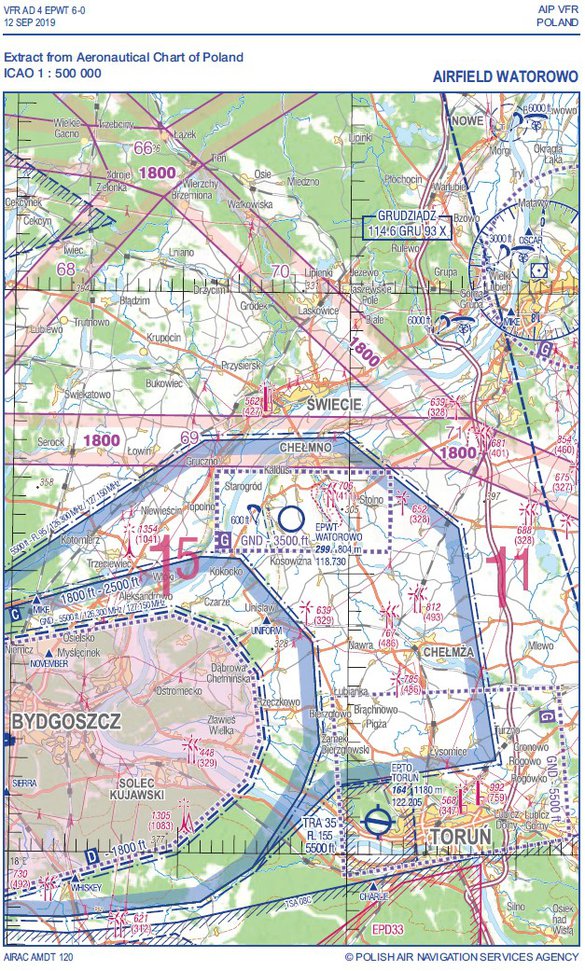
AIRFIELD WATOROWO EPWT
EPWT
Communication
The radio station of landing strip Watorowo Radio, operates at 118.730 MHz, ICAO Code EPWT
Operational – Technical data:
Location landing: N 53o 17′ 913, E 018o 24′847
Location in relation to the town of Chelmno (direction and distance) 188o / 6 km
Elevation above sea level 91 m (299 ft)
Purpose:
Landing is designed for VFR flights during the day and at night on aircraft with a maximum take-off weight up to 5700 kg.
COORDINATE:
Arrival must be agreed in advance
N531754.5, E0182448.6
FREQUENCY 118,730

The dimensions of the runway:
- length of 800 m
- width of 53 m
Marking the runway:- Day – yellow and red flags/banners. At the beginning and end of the landing belt the flags are doubled.
- Night – a simplified system of electric lamps Luch.
Marking the touchdown zone:- Day – the letter T with a white canvas
- Night – the letter T with yellow lights
The main direction of approach 258o / 78o
Surface: Grass
Foreground characteristics: no major obstacles
1. Day VFR in conditions not worse than:
- Cloud base: 150 m
- Visibility: 1,5 km
2. VFR flights at night in conditions not worse than:
- Cloud base: 500 m
- Visibility: 5 km
3. Direction circles – left
Fields emergency landing: adjacent fields and meadows
The rules for determining the orientation:
- In the case of loss of orientation on the right side of the Vistula River, adopt a course of 270o, outputs on the Vistula River, fly along the river and land at the airport in Bydgoszcz or Torun.
- In case of loss of orientation on the left side of the Vistula River, adopt a course of 90o, get out of the river Vistula, fly along the river and land at the airport in Bydgoszcz or Torun.
EPGI (Lisa Katy) 40km / 48o, EPTO (Torun) 32km / 163o, EPBY (Bydgoszcz) 37m / 234o
Local restrictions: Due to noise limitations do not perform run-up test in proximity airfield’s buildings.
